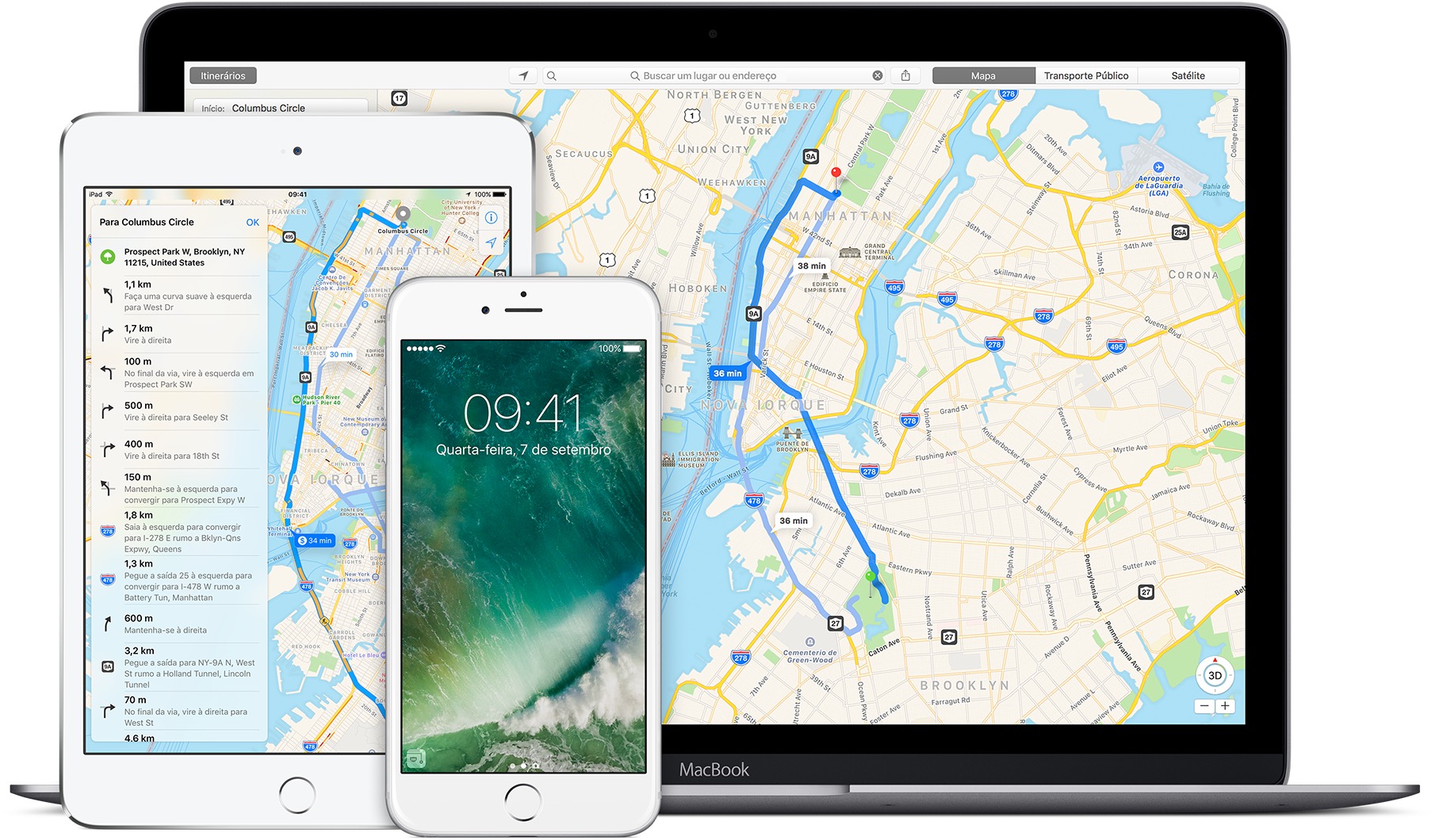
Basically every week we talk about a new and small set of cities that have received support for some of the most specific features of Apple Maps, be it public transport, traffic information or even point-to-point navigation and we take the opportunity, of course, to criticize Ma’s glacial slowness in expanding its service to more locations in the world, preventing it from becoming a real competitor of the monster sacred Google Maps.

Well, following the protocol, let's get to the news: Detroit, in the United States, and Windsor, Canada, recently gained support for public transport information on Maps of the USA. The neighboring cities separated by the Detroit River can now be easily navigated by their inhabitants and visitors using the native iOS / macOS application.
On the American side, the service supports public bus and SMART consortium lines, the municipal People Mover, the Michigan Flyer and Amtrak interstate trains. On the Canadian side, Maps contemplates Transit Windsor buses. Certain satellite cities in the vicinity of both locations were also covered by the update.
All very nice, but just to close with one more cliché: it's the Brazil, huh? Where's the point-to-point navigation, Apple ?!
(via MacRumors)
