While Apple's maps are beginning to gain public transport routes in a few cities around the world (Brazil is out, at least for now), the Google Maps has been increasingly expanding its reach in Brazilian lands.
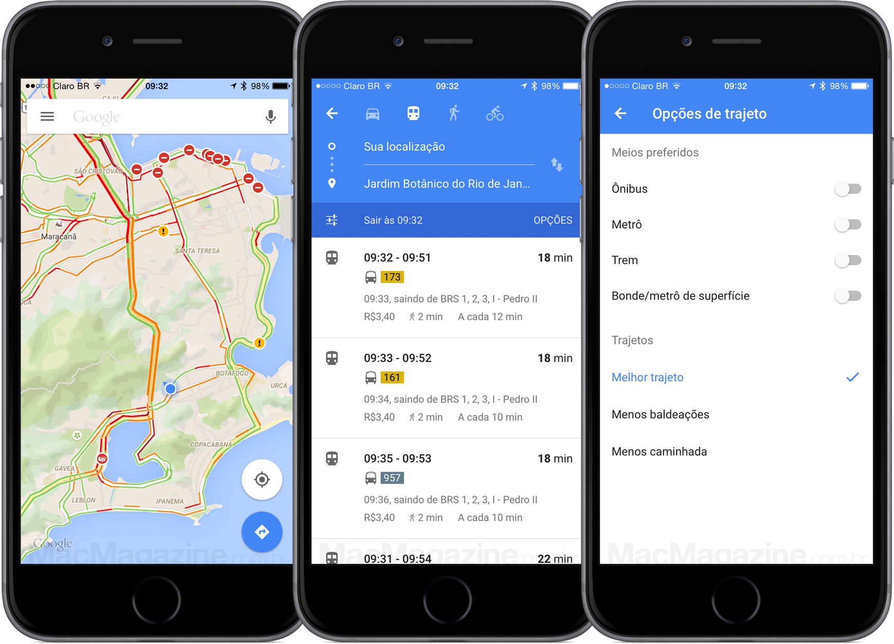
In addition to already providing traffic information and offering routes using public transport (buses, metro, train and tram / metro on the surface), they recently added an integration with Uber that in addition to informing the driver's arrival time at the location where you is found, it also shows an estimate of the value of the “race”. Well now we have one more option: bicycle routes.

For now, the novelty is available in So Paulo, Rio de Janeiro, Curitiba and Belo Horizonte, cities that have the largest bike paths in the country. When typing an address, whether on Google Maps on the web, on iOS or on Android, the user can choose between the various route options: car, public transport, just now, bicycle (the integration with Uber appears both on transport routes public when ap).
I'm honestly enjoying seeing Apple expand the map capabilities after all, competition is always good, but undeniable that Google Maps is very ahead, especially here in Brazil.
(via INFO: 1, 2)
