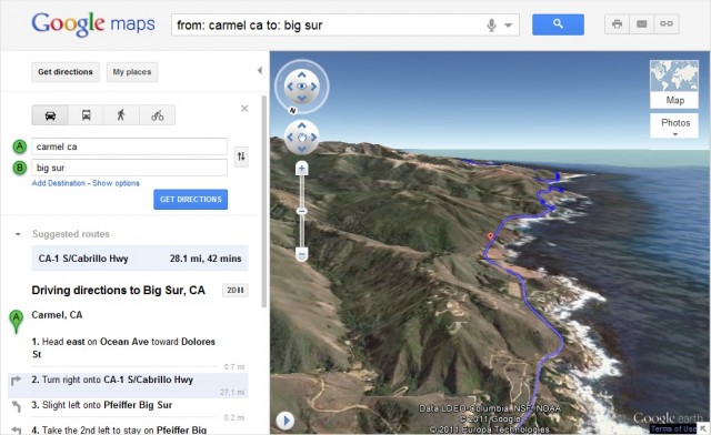
Google recently added a new feature to Google Maps that offers users of the product the possibility to view routes and directions in a very peculiar view: by helicopter.
“Let’s say you are planning a trip down the coast of California’s Highway 1 and want to be able to see what the route really looks like. The standard view does not give you a good idea of how majestic this terrain is but using 3D preview, however, you can get an aerial view of the route, as if you were in a helicopter flying over the road ”, explained the company .

To use the novelty is very simple: after assembling your route A and B, click on the 3D button that is displayed along the directions. Google Maps uses a Google Earth plugin (installation is mandatory) to bring the display in three dimensions within the browser.
See an example from São Paulo:
