Apple conspires to change the world, but before that, it needs to master it, one step at a time. In the last few days, another small step has been taken: new locations have been added to traffic services and public transport routes in the Maps, tips from Spotlight and Flyover.
Apple started by increasing traffic data to the state of New South Wales, Australia where the main city of the country, Sydney, is located. Before, only directions on the train lines in Sydney were available; the application now works with the entire state's mass transit system. In Thailand, users now have access to traffic information; there are already 34 countries with this resource available.
(Let me give you a brief soliloquy here: only 16 cities worldwide have public transport data on Apple Maps and this is a resource that was presented almost a year ago, with 10 cities. Before that, between 2008 and 2012, then the standard iOS map application, the indefectible Google Maps, had this type of essential information in hundreds, perhaps thousands of cities. Of course, someone will say that the Google Maps app is just a touch away from users, but is it not the case that Apple accelerates this process a little more? Because consumers had access to a better native tool and saw it replaced by an inferior one, I digress.)
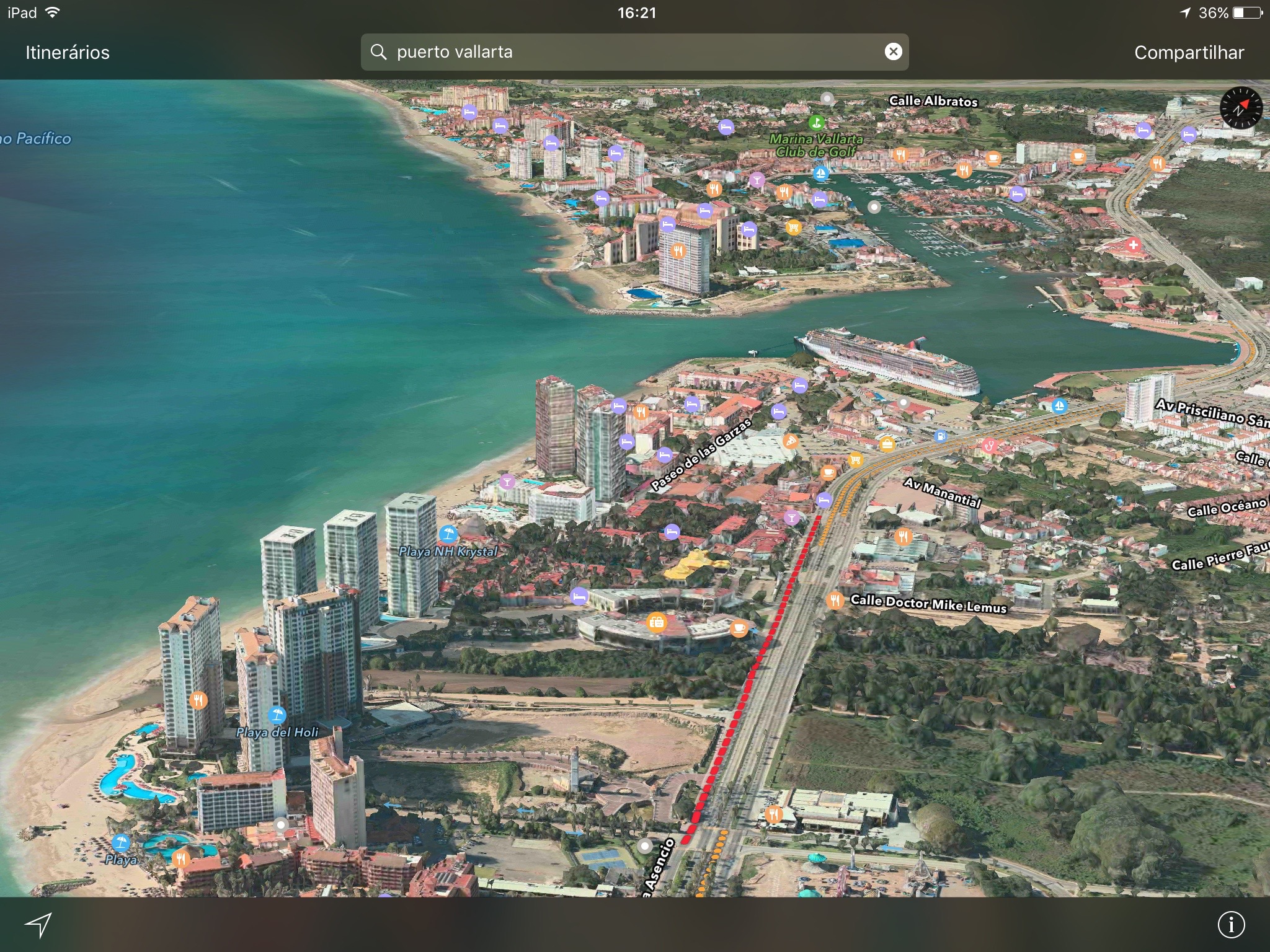
Two new cities were also added to the fun, but not very useful Flyover: Puerto Vallarta, in Mexico, and Akron (Ohio), in the United States.
To close the round of expansions, the Spotlight suggestion feature is now available to our Scandinavian friends in Sweden, Norway and Denmark, now there are only 19 countries with access to internet content suggestions, Maps, iTunes and the App Store with a simple search in Spotlight.
(via 9to5Mac, MacRumors)
